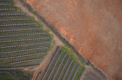
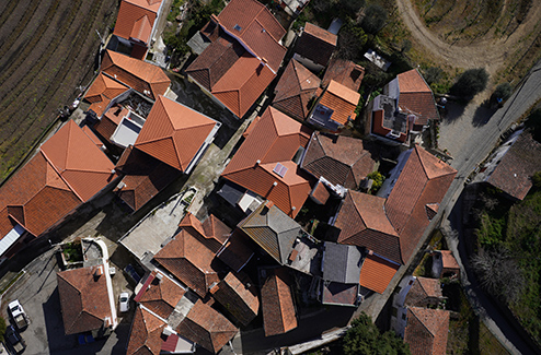
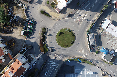
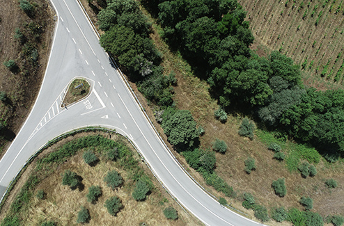
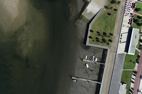
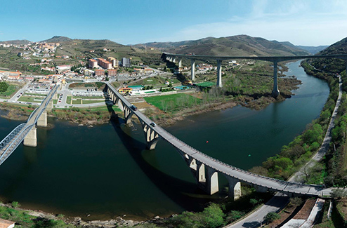
USE OF UAS/DRONE TARGET AUDIENCE: Agricultural and construction companies Architects Individual people SERVICES PROVIDED: Geographic Engineering: Topographic surveys; Cartographic surveys; Infrastructure inspection; Production of orthophoto maps; Production of Digital Elevation Models (DEM); Production of Digital Terrain Models (DTM); Production of Digital Surface Models (DSM); Production of 3D Models; Agriculture: Provision of precision agriculture services; Monitoring and follow-up of agricultural activity; Interpretation of data obtained; NDVI maps (Normalized Difference Vegetation Index); Other multispectral maps; Thermal maps; Sun exposure; OTHER SERVICES GEOGRAPHIC INFORMATION SYSTEM TOPOGRAPHY BUILDING REGISTRATION 3D MODELING ARCHITECTURAL SURVEYS INFRASTRUCTURE REGISTRATION BATHYMETRY DEVELOPMENT OF COMPUTER APPLICATIONS CARTOGRAPHY AGRICULTURE, ENVIRONMENT AND CIVIL PROTECTION