WELCOME

Geodouro

Territory Engineering and Management Systems

WHO WE ARE

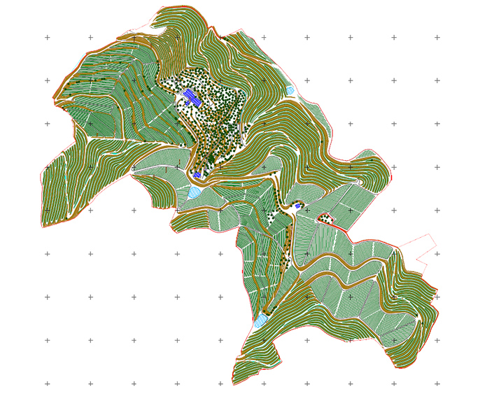
We provide services in the areas of Geographic Information Systems, Topography, Cartography, Bathymetry, 3D Modeling, Land Registry / Land Services Infrastructure Registry and Development of Computer Applications, and Engineering in general, reconciling accuracy, effectiveness and flexibility, operating in Portugal since the year 2000.

SERVICES PROVIDED:

OUR PRODUCTS:

SIGP: Agricultural Management Software made up of several modules for managing the various operational areas.

INFRAVINI: Spatial Data Infrastructure for Climate Change Management.

EYESonTRAPS: Solution for automatically monitoring pests in the vineyard.

TRAINING

Geodouro promotes training in its areas of activity.

Geographic Information Systems
(GIS) with QGIS (INTRODUCTION)

INTRODUCTION

PostgreSQL + PostGIS

ADVANCED

Topography - General Notions

Regularization of building areas - Conservatory and Finance

MAIN CUSTOMERS

PARTNERSHIPS